Google Map of Gettysburg Photographs
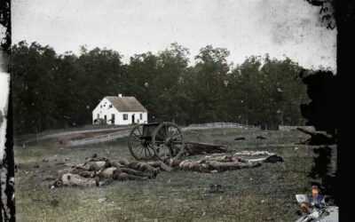
I frequently share images from the Library of Congress as part of blog posts, presentations or via social media. One of the other things that my family and I like to do is to take original photographs of the Battle of Gettysburg and find their location.
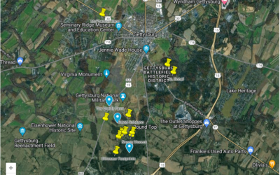
The following Google Map provides a glimpse into the Battle of Gettysburg by showcasing the exact locations where original photographs were captured by photographers such as Alexander Gardner and Mathew Brady. As you explore the map, you’ll trace the footsteps of early photographers who ventured to Gettysburg to capture the haunting aftermath of this historic battle. From the iconic Devil’s Den to the solemn expanse of Cemetery Ridge, each pin on the map represents a moment frozen in time, offering a unique visual connection to the past. It’s a powerful testament to the enduring significance of Gettysburg and the invaluable role that photography has played in preserving the memory of this momentous event in American history.
I will keep adding to the map so be sure to check back.


0 Comments